Skip to content
 Drone Services
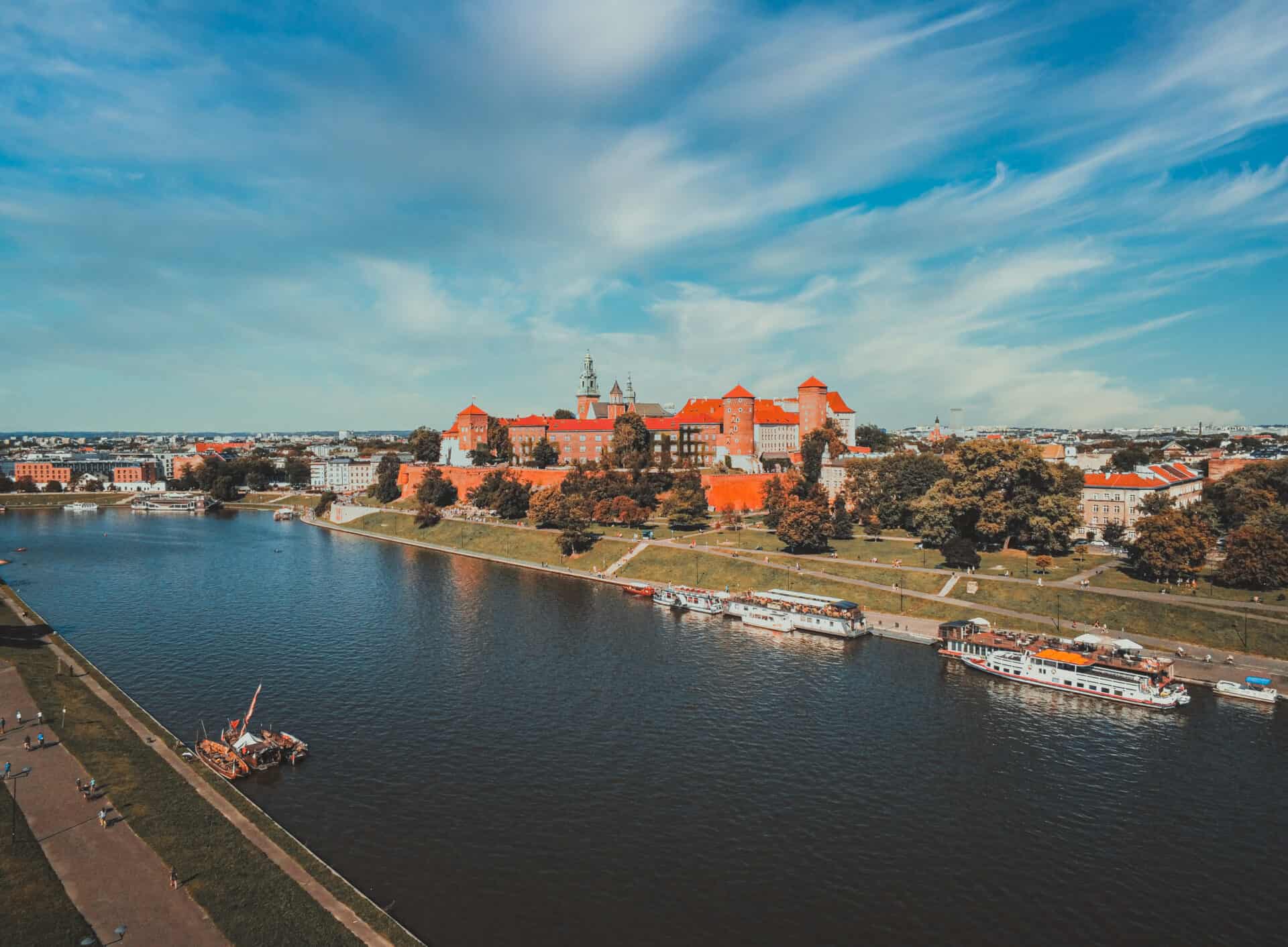
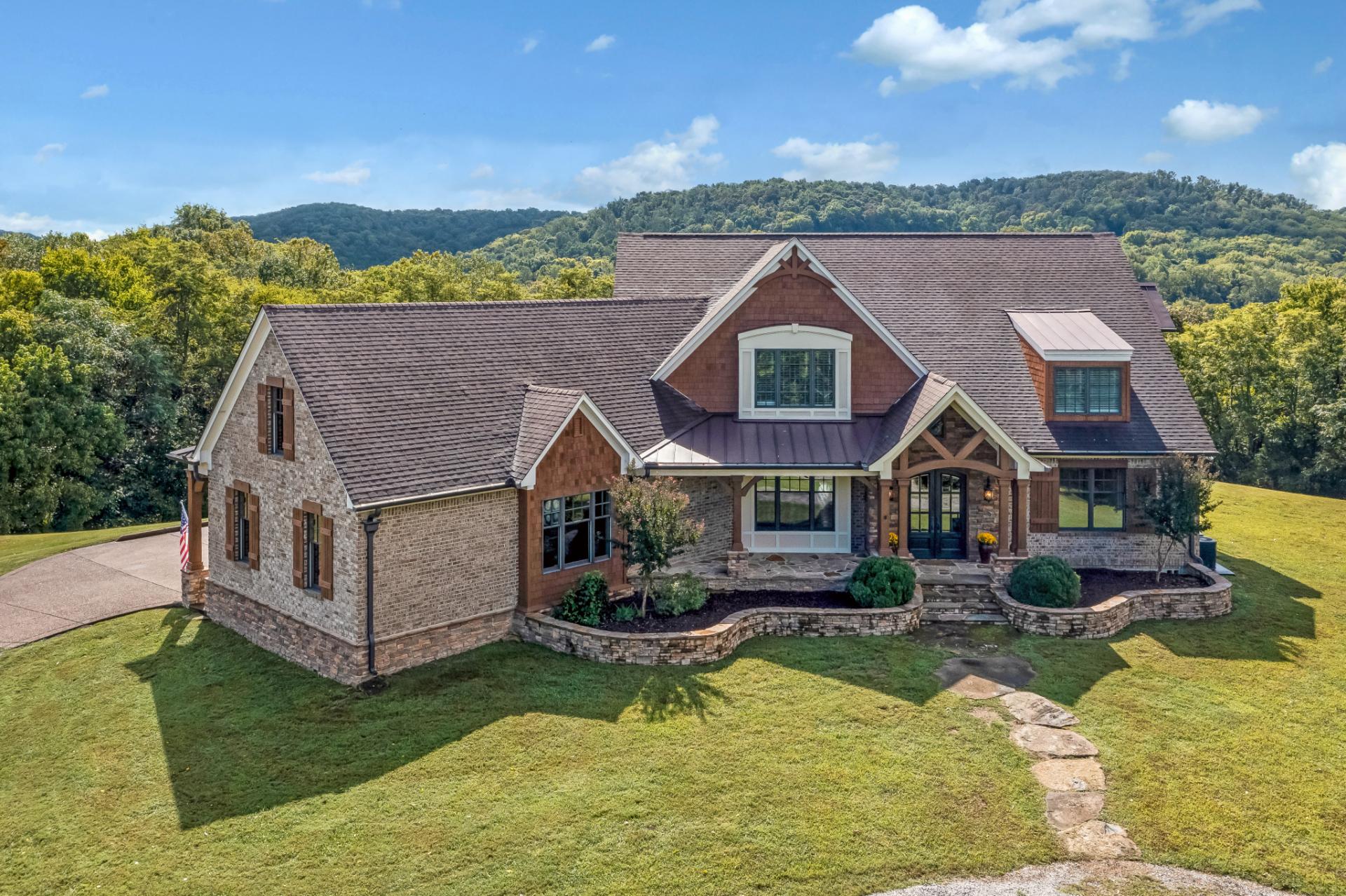
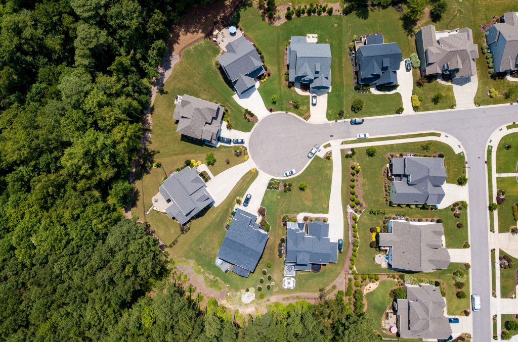
Real Estate
Unleash the potential of your property with our professional real estate drone services. Capture stunning aerial photos and videos that will captivate your audience. Elevate your property marketing today!

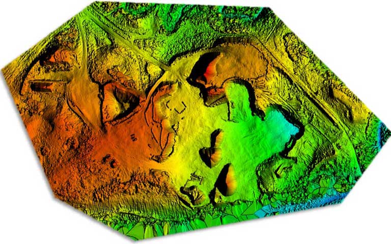
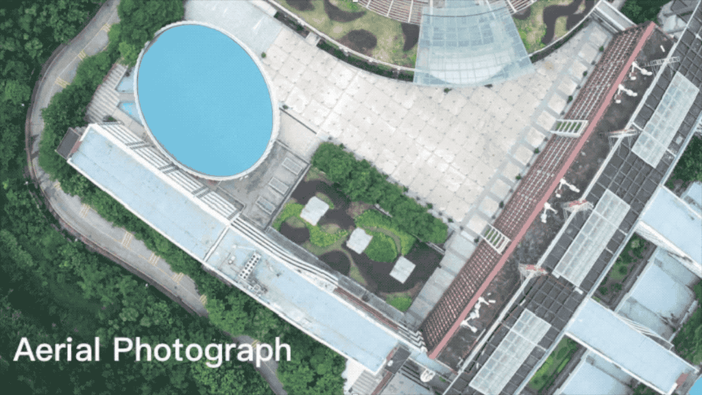
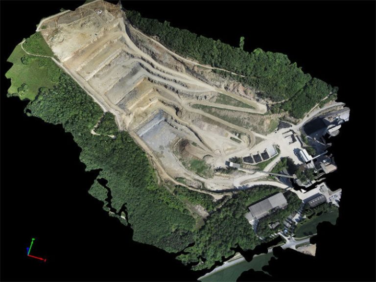
Drone photogrammetry
Discover the power of aerial data. Our drones capture stunning images, transforming them into precise maps and models. Ideal for business, planning, and more. Dronuj will take care of it.

Drone Film & Photography
We provide well optimized and edited drone films or drone photos of your wedding, property and anything depending on what you need.
Real Estate
Unleash the potential of your property with our professional real estate drone services. Capture stunning aerial photos and videos that will captivate your audience. Elevate your property marketing today!
Drone Film & Photography
We provide well optimized and edited drone films or drone photos of your wedding, property and anything depending on what you need.
Drone photogrammetry
Discover the power of aerial data. Our drones capture stunning images, transforming them into precise maps and models. Ideal for business, planning, and more. Dronuj will take care of it.